File:Hofwijck westkant.JPG
Jump to navigation
Jump to search

Size of this preview: 510 × 599 pixels. Other resolutions: 204 × 240 pixels | 408 × 480 pixels | 653 × 768 pixels | 871 × 1,024 pixels | 1,848 × 2,172 pixels.
Original file (1,848 × 2,172 pixels, file size: 2.51 MB, MIME type: image/jpeg)
|
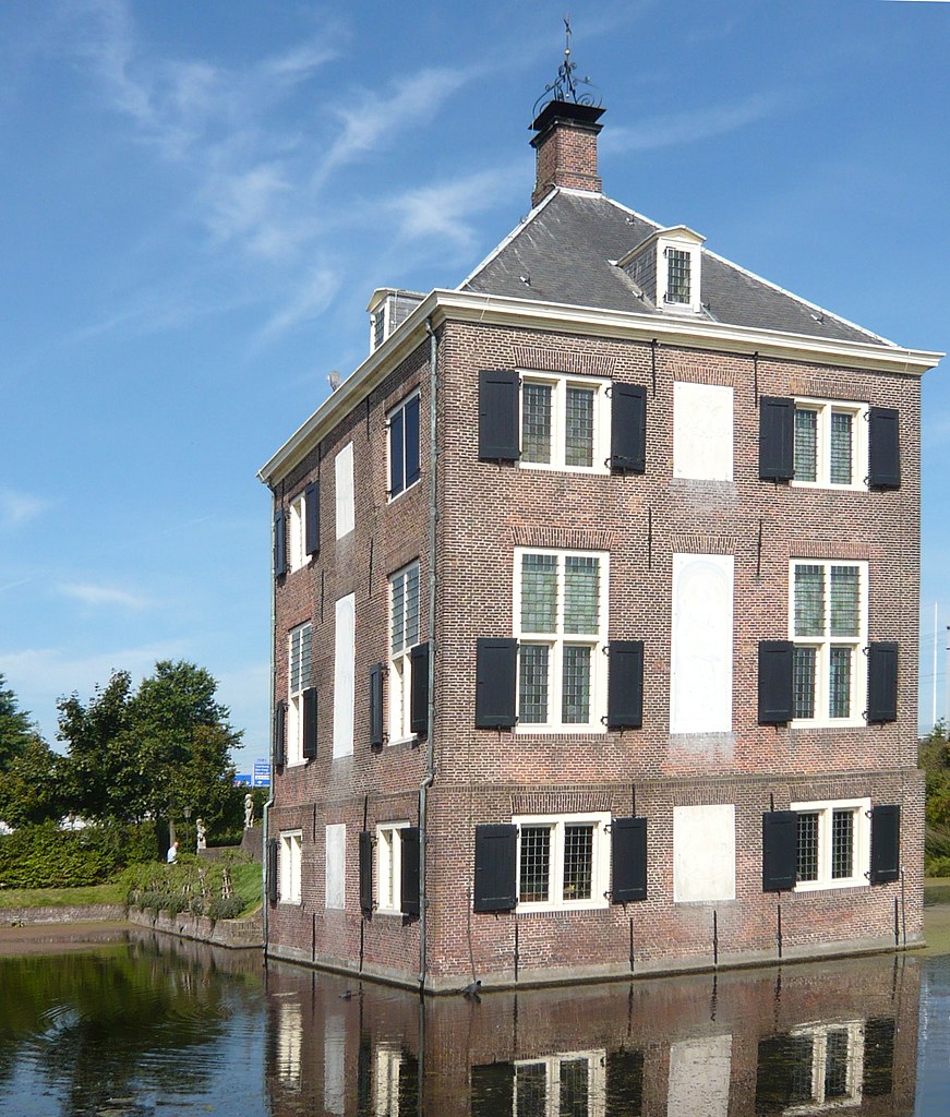
This is an image of rijksmonument number 508184 Information from structured data: |
Summary
| Description |
English: Hofwijck, from the west. Behind the camera is the trekvaart where even today barge traffic travels between Amsterdam and Rotterdam via inland waterways. Behind Hofwijck the flyover for the train and highway Route signs can be seen. |
| Date | |
| Source | Own work |
| Author | Jane023 |
| Object location | | View this and other nearby images on: OpenStreetMap |
|---|
Licensing
I, the copyright holder of this work, hereby publish it under the following licenses:
This file is licensed under the Creative Commons Attribution-Share Alike 3.0 Unported license.
- You are free:
- to share – to copy, distribute and transmit the work
- to remix – to adapt the work
- Under the following conditions:
- attribution – You must give appropriate credit, provide a link to the license, and indicate if changes were made. You may do so in any reasonable manner, but not in any way that suggests the licensor endorses you or your use.
- share alike – If you remix, transform, or build upon the material, you must distribute your contributions under the same or compatible license as the original.

|
Permission is granted to copy, distribute and/or modify this document under the terms of the GNU Free Documentation License, Version 1.2 or any later version published by the Free Software Foundation; with no Invariant Sections, no Front-Cover Texts, and no Back-Cover Texts. A copy of the license is included in the section entitled GNU Free Documentation License. |
You may select the license of your choice.
File history
Click on a date/time to view the file as it appeared at that time.
| Date/Time | Thumbnail | Dimensions | User | Comment | |
|---|---|---|---|---|---|
| current | 06:33, 11 May 2017 | | 1,848 × 2,172 (2.51 MB) | wikimediacommons>Hans Haase | - |
File usage
There are no pages that use this file.
Global file usage
The following other wikis use this file:
- Usage on miraheze.org
